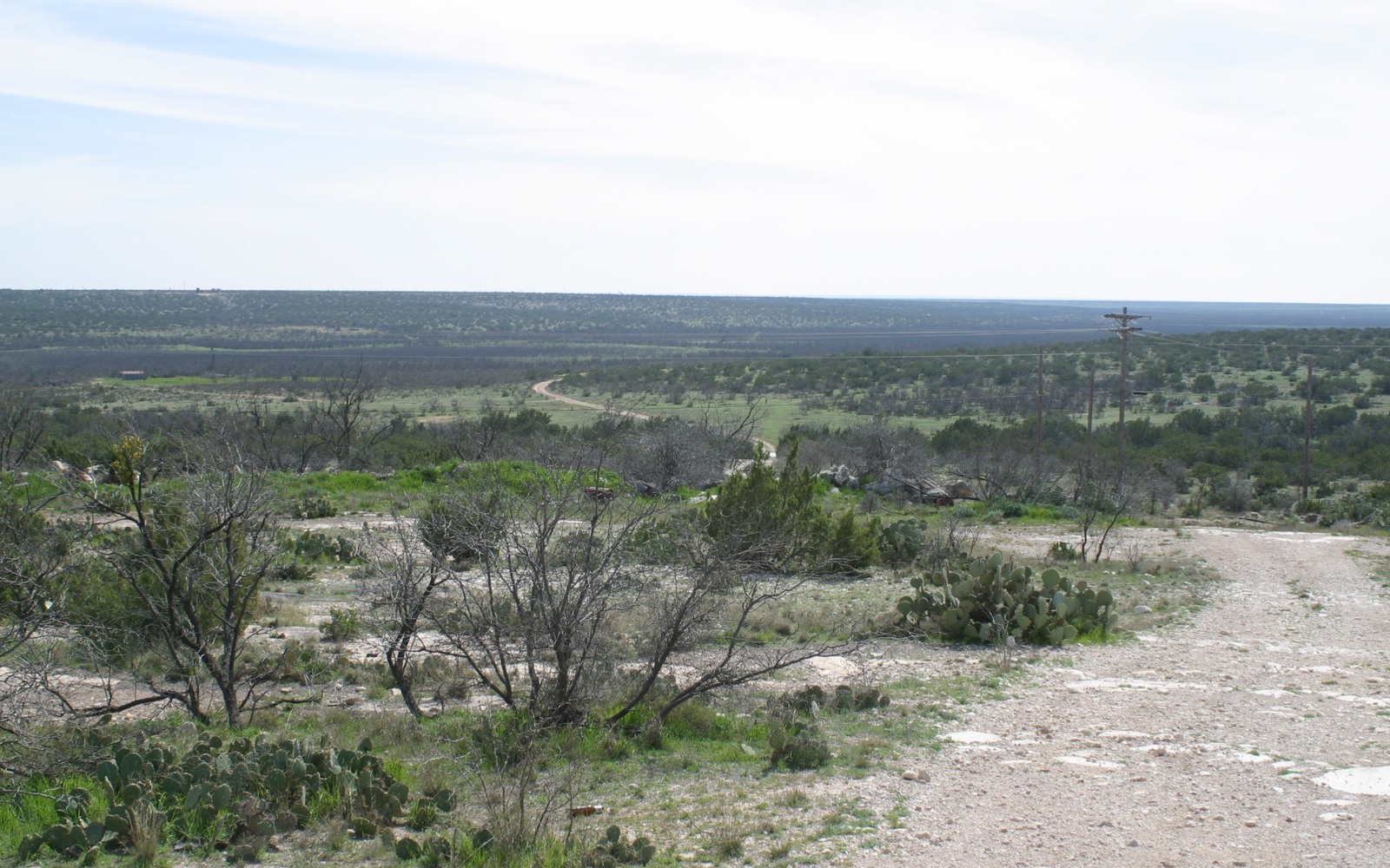
Reagan County, seated in Big Lake, was the birthplace of the Big Lake oil field in 1923 and it's still producing a century later under horizontal Wolfcamp and Spraberry development.
Reagan County has a longer oil history than almost anywhere else in the Midland Basin. The Santa Rita No. 1, spudded on University Lands acreage southwest of Big Lake, blew in during May 1923 and set off the boom that built the county. That original vertical field has been drilled, redrilled, and downspaced through nearly every phase of Permian Basin technology since, and it now sits underneath a newer generation of horizontal Wolfcamp and Spraberry units.
For a mineral owner, that history is both an asset and a complication. It's an asset because there's a century of production data and courthouse records to establish what a tract is worth. It's a complication because a single mineral estate here can trace through multiple oil booms, several rounds of downspacing orders, and generations of inheritance, all before a horizontal well ever touched the acreage. We do that full title chase before we make an offer, not after.
University Lands and private minerals side by side
A large share of Reagan County's subsurface belongs to the Permanent University Fund through University Lands, but plenty of privately held mineral tracts sit right alongside that state acreage, particularly around Big Lake and Texon and out toward the county's ranching sections. Private owners sometimes assume state ownership nearby means their own interest is minor or already accounted for. It isn't. Your privately held minerals are a separate estate with their own lease terms, their own pooling, and their own value.
We check County Clerk records in Big Lake to confirm exactly which tracts are privately held versus state land before we ever discuss a number, so there's no confusion about what you actually own.
A century of stacked development
The original Big Lake field was developed on wide vertical spacing in the 1920s and 30s, then infilled repeatedly through the mid-century and again in the 1980s downspacing era. Horizontal Wolfcamp and Spraberry units drilled over the past decade often re-pool that same legacy acreage into much larger units, sometimes covering a full section or more. That means your tract's production history might run through three or four distinct development eras, each with its own lease, pooling order, and royalty calculation.
Untangling which of those still governs your interest today is the core of our title work here. We trace forward from the earliest recorded lease to the current operator of record.
Heirship on old ranching-family tracts
Reagan County's ranching families held onto mineral interests long after selling or leasing the surface for grazing, and those interests have split through generations of probate since. It's common for us to find a single 1930s-era mineral estate now divided among fifteen or more descendants, some still local, many scattered well outside Texas. If you're one of those heirs receiving a modest royalty check tied to a fraction of a fraction, that's the normal outcome of this county's long history, not a red flag on the interest itself.
How we price a Reagan County interest
We weigh current monthly production and decline trend against your confirmed net mineral acreage, then check offset permit and completion activity to see whether nearby horizontal development is likely to extend to your tract. Values here vary widely depending on which formation and which era of well sits under a given tract, so we price against your specific production history rather than a countywide average.
Texas Owner Questions
Does your interest near Big Lake connect to the historic Santa Rita well?
Not directly in most cases — that well and the surrounding University Lands acreage are state-owned. But your privately held minerals nearby have their own separate history, which we research from your specific deed.
How do you know if your tract is under a horizontal unit now?
We check Railroad Commission unit and pooling filings against your legal description to confirm whether your legacy tract has been incorporated into a newer horizontal unit.
Your royalty checks come from a well drilled in the 1950s. Is that even still producing?
Many of Reagan County's older wells are still on the books, though often at low stripper volumes, or have been replaced by newer wellbores on the same lease. We verify current status rather than assuming.
What if your ownership traces to a ranching family and there's no formal probate on file?
That's common on older Reagan County estates. We can often work with a title company to resolve an unprobated interest as part of the closing process.
Do you buy both producing and non-producing minerals in Reagan County?
Yes. Producing interests are priced against current volumes and decline; non-producing tracts are priced against offset activity and formation potential in that specific area of the county.
What towns in Reagan County besides Big Lake have mineral activity?
Texon and the smaller communities scattered across the county each sit over slightly different parts of the field's long development history, so we evaluate a tract based on its specific location rather than a countywide figure.