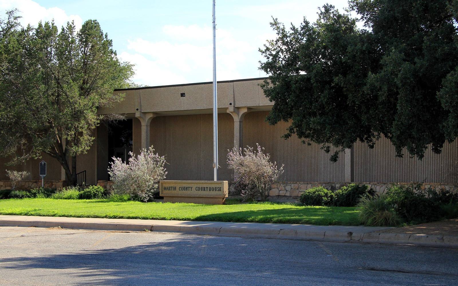
Stanton, the Martin County seat, sits in one of the most densely drilled parts of the entire Midland Basin, with operators stacking multiple horizontal benches under nearly every section.
Martin County has drawn some of the most intense horizontal development anywhere in the Permian Basin, with companies including Pioneer, ConocoPhillips, and others drilling dense multi-well pads targeting Wolfcamp and Spraberry intervals across the county. If you own minerals near Stanton, your tract very likely sits under multiple stacked units rather than a single well.
That density is good for value, giving us strong recent comparable data, but it also makes confirming exactly which units your specific tract belongs to more involved. We check Railroad Commission filings section by section rather than assuming a single unit covers your acreage.
Stacked development across the county
We check each horizontal unit your tract falls within, since a single section here can host wells targeting several different formations. Missing one unit in the research means underpricing the interest, so we're thorough about it.
Martin County courthouse records
We pull deed and probate history at the Martin County Courthouse in Stanton, tracing your family's interest through however many generations of ownership since the original lease.
How we price a Stanton-area interest
Combined current production across every unit your tract touches, weighed against your confirmed net mineral acreage and recent comparable sales in this heavily traded county.
Place the county tract on the basin board
The local file should tie the county record and legal description to the relevant basin, formation, field, unit, wells, permits, and operator position. A surface address can help find the tract, but it does not establish the mineral interest or prove participation in nearby development.
Read the local well vintages
Producing wells, shut-in wells, intermittent wells, newer laterals, older vertical wells, nearby completions, and general operator acreage in the surrounding area belong in separate evidence lanes. The paid property history carries more weight than a rig or permit that does not include the subject acreage.
Reconcile the ownership line
Deeds, reservations, leases, assignments, probate or trust records, division orders, unit documents, payor records, and statements should all point to the same local interest. Acreage, fractions, burdens, depths, products, and the paid decimal stay open until the supporting records agree.
Compare the deed and closing terms
A written offer for the tract should state the exact interest conveyed, effective date, receivables, reservations, title standard, curative responsibility, adjustment rights, payment conditions, and recording sequence. A strong headline number can still carry a broad deed or a weak closing condition.
Texas Owner Questions
How many separate wells could actually be tied to your tract?
In a heavily developed section, it's common for a tract to be pooled into three or more units targeting different formations. We check each one individually.
Is Martin County still seeing strong drilling activity?
It's remained one of the more actively drilled Midland Basin counties in recent years, though pace shifts with commodity prices and operator plans.
Do you buy interests with a complicated multi-unit pooling history?
Yes, that complexity is common here, and sorting it out is core to the title work we do before making an offer.
How do you make sure you are not missing value from a unit you did not know about?
We independently check Railroad Commission filings for every unit touching your legal description, not only the one referenced on your most recent statement.
Can multiple heirs with different fractions all sell separately?
Yes, each heir's confirmed fraction can be purchased individually without requiring the whole family to act together.