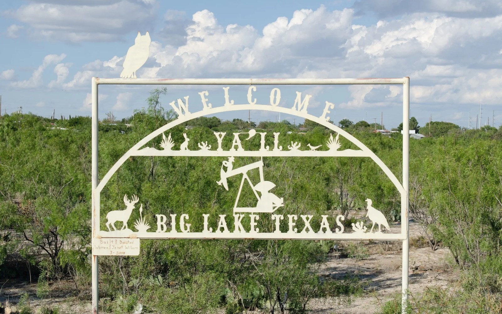
Big Lake is the county seat of Reagan County and sits within a mile or two of where the Santa Rita No. 1 well blew in back in 1923, the discovery that first proved up the Permian Basin as a major oil province.
Reagan County's oil history is about as deep as it gets in West Texas, and the University Lands acreage tied to that original discovery still anchors a lot of the county's production today. What's changed more recently is the shift to horizontal Wolfcamp drilling, which has re-tapped ground around Big Lake that's been under lease, in one form or another, for a full century.
A century of continuous activity around Big Lake means there's an unusually rich paper trail to work with, old abstracts, historical unitization orders, decades of Railroad Commission filings, that a patient title search can piece together even when a family's own records are incomplete.
University Lands and State Mineral Interests
A portion of Reagan County's production comes from University Lands acreage, state-owned minerals managed for the benefit of Texas university systems, which operates under different rules than privately owned minerals. If your family's tract borders University Lands acreage, it's worth confirming your boundary and ownership precisely.
A Century of Continuous History
Few tracts anywhere in Texas have a longer continuous oil and gas leasing history than land around Big Lake. That century of activity means multiple generations of leases, unitizations, and ownership transfers are typically layered on any given tract, which is exactly why title work matters here more than a quick guess at value.
Old Vertical Wells, New Horizontal Units
Modern Wolfcamp horizontal units drilled over the last decade often sit directly above or near legacy vertical wells that have produced since the 1920s through the 1980s. Both can factor into what a tract near Big Lake is worth today.
Reagan County Records
The Reagan County Clerk's office in Big Lake holds a century of deed and lease history. We dig through it to confirm current ownership before discussing any real number on your interest.
Place the county tract on the basin board
The local file should tie the county record and legal description to the relevant basin, formation, field, unit, wells, permits, and operator position. A surface address can help find the tract, but it does not establish the mineral interest or prove participation in nearby development.
Read the local well vintages
Producing wells, shut-in wells, intermittent wells, newer laterals, older vertical wells, nearby completions, and general operator acreage in the surrounding area belong in separate evidence lanes. The paid property history carries more weight than a rig or permit that does not include the subject acreage.
Reconcile the ownership line
Deeds, reservations, leases, assignments, probate or trust records, division orders, unit documents, payor records, and statements should all point to the same local interest. Acreage, fractions, burdens, depths, products, and the paid decimal stay open until the supporting records agree.
Compare the deed and closing terms
A written offer for the tract should state the exact interest conveyed, effective date, receivables, reservations, title standard, curative responsibility, adjustment rights, payment conditions, and recording sequence. A strong headline number can still carry a broad deed or a weak closing condition.
Texas Owner Questions
Is your family's mineral interest tied back to the original Santa Rita discovery?
Possibly, depending on the specific section. We check your legal description against historical county and University Lands records to find out.
How does a century of leasing history affect a sale today?
It generally means more paperwork to trace, but it doesn't diminish value; long-producing areas often have well-documented, reliable production data.
Is Reagan County still actively drilled?
Yes, modern horizontal Wolfcamp development continues in Reagan County alongside legacy production.
Is any of your Big Lake-area interest actually University Lands acreage?
It's worth confirming, since University Lands parcels are state-owned and managed separately from private mineral interests. We check your legal description against known University Lands boundaries.
How do you find out if your interest touches University Lands acreage near Big Lake?
We check your legal description against known University Lands boundary records as part of standard title research.