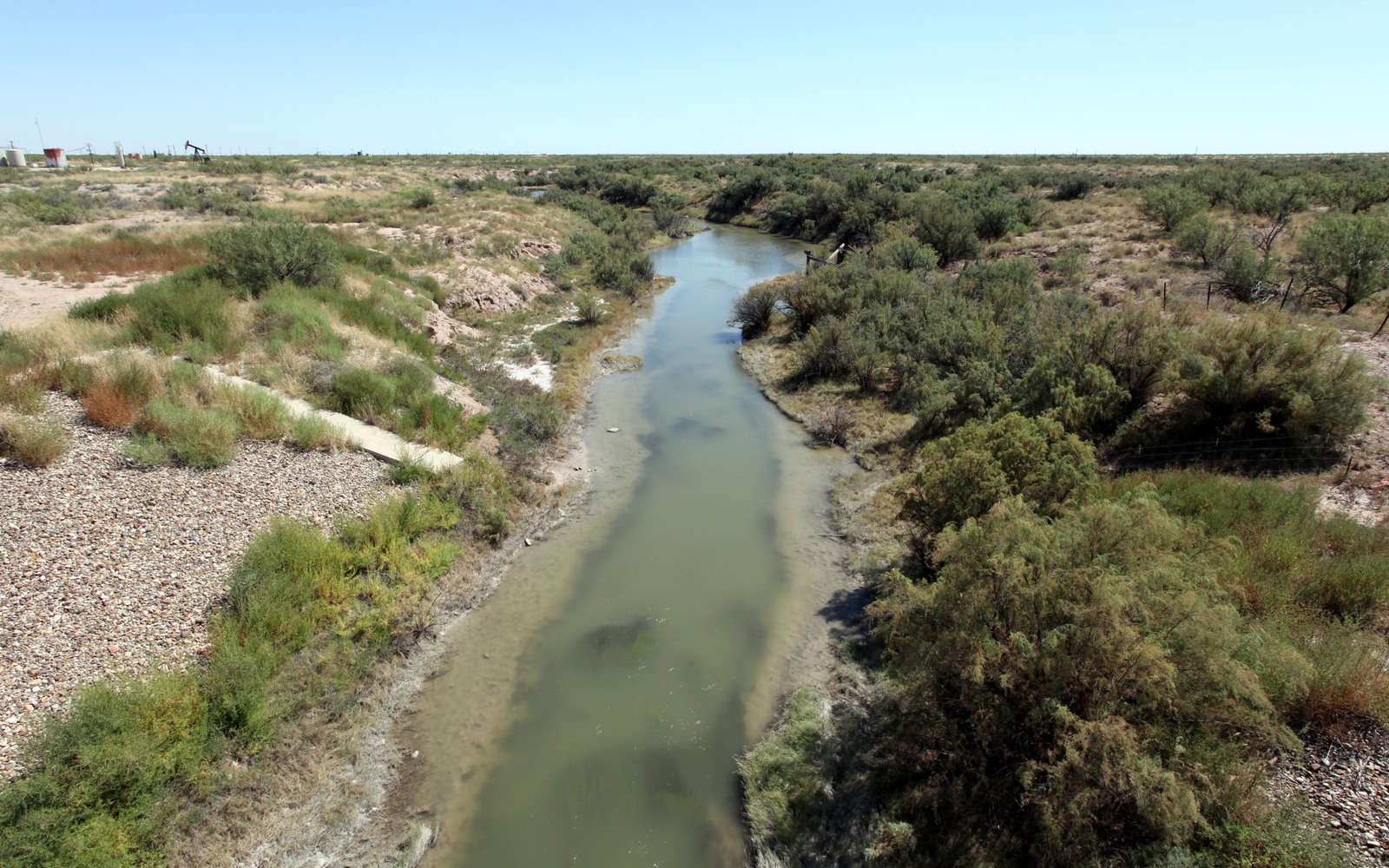
Grandfalls sits along the Pecos River in Ward County, a small farming town that's also inside some of the more actively developed Delaware Basin acreage in Texas.
Ward County has seen substantial horizontal drilling in recent years as operators worked outward from the Delaware's core in Reeves and Loving counties. Grandfalls-area landowners often hold minerals tied to irrigated farm ground along the river bottom, land that's been in the same families for generations before the current drilling boom arrived.
The town itself is tiny, one of the smallest incorporated communities in this part of West Texas, but the acreage around it has drawn real operator attention as the Delaware Basin's development footprint has expanded east from Reeves County.
Farming surface, active subsurface
The surface around Grandfalls has long been irrigated cotton and alfalfa ground, which has nothing to do with what's happening thousands of feet below in the Wolfcamp and Bone Spring. Mineral ownership here is entirely separate from the farming operation, and a sale of your minerals doesn't touch the surface use at all.
Confirming title through Ward County
We pull your deed and any prior transfers from the Ward County Clerk and match your legal description to the correct spacing unit. River-bottom tracts here sometimes carry older survey language tied to the Pecos River's historic boundary, which we work through as part of the title check.
What we price against
Combined oil, gas, and NGL production across every wellbore on your tract, current pricing, and remaining reserve life all factor into the number. Ward County's Delaware wells can produce for a long time, and we base the offer on real, current data rather than early projections.
Place the county tract on the basin board
The local file should tie the county record and legal description to the relevant basin, formation, field, unit, wells, permits, and operator position. A surface address can help find the tract, but it does not establish the mineral interest or prove participation in nearby development.
Read the local well vintages
Producing wells, shut-in wells, intermittent wells, newer laterals, older vertical wells, nearby completions, and general operator acreage in the surrounding area belong in separate evidence lanes. The paid property history carries more weight than a rig or permit that does not include the subject acreage.
Reconcile the ownership line
Deeds, reservations, leases, assignments, probate or trust records, division orders, unit documents, payor records, and statements should all point to the same local interest. Acreage, fractions, burdens, depths, products, and the paid decimal stay open until the supporting records agree.
Compare the deed and closing terms
A written offer for the tract should state the exact interest conveyed, effective date, receivables, reservations, title standard, curative responsibility, adjustment rights, payment conditions, and recording sequence. A strong headline number can still carry a broad deed or a weak closing condition.
Texas Owner Questions
Does selling your minerals affect the farming operation on the surface?
No, mineral and surface ownership are separate estates in Texas. A mineral sale has no effect on farming, irrigation, or surface use of the land.
Your tract is along the old Pecos River boundary. Does that complicate title?
It can require extra care in reading the survey, but it's a manageable part of the title review we handle as a normal part of the process.
How active is drilling near Grandfalls right now?
Ward County has seen ongoing Delaware Basin development in recent years. We check current permits near your specific tract before quoting.
Is a small town like Grandfalls too remote for you to evaluate a tract accurately?
No, we research title and production through county and Railroad Commission records regardless of how small or remote the community is.