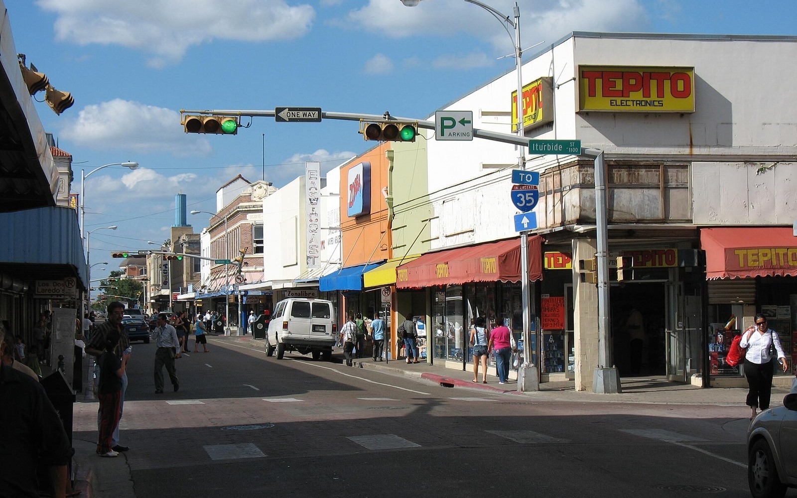
Laredo is Webb County's seat, and every mineral deed, lease, and probate for miles around runs through the courthouse a few blocks off the river.
Webb County sits toward the western, more updip end of the Eagle Ford, where the play trends from an oil-condensate window near Laredo into a drier gas window further west toward Encinal and Catarina. Laredo itself, as the county seat and the region's economic center, holds the records for a huge stretch of ranch and colonia acreage across the county.
Where Webb County Sits on the Play
Acreage closer to the city tends to fall in the condensate-rich part of the Eagle Ford, while units further west and south lean toward drier gas. Operators including BPX, Talos, and EOG have worked Webb County acreage at various points, though ownership and operatorship have changed hands more than once since the initial leasing wave.
Because Webb County covers so much ground, we check your specific legal description against permit and spacing data rather than assuming based on the county name alone.
Ranch Land and Colonia Tracts
Webb County's mineral ownership runs through two very different patterns: large historic ranch families whose land predates the boom by generations, and smaller platted colonia and subdivision lots outside the city where minerals were often reserved separately from the surface. Both show up regularly in our work here.
Whichever pattern fits your situation, the courthouse in Laredo holds the deed chain we need to confirm current ownership.
A County Seat's Worth of Records
Because Laredo serves as the hub for the entire county, we handle both the initial title research and eventual deed recording through the same office, which keeps a Webb County transaction relatively straightforward compared to counties where records are split across multiple locations.
Place the county tract on the basin board
The local file should tie the county record and legal description to the relevant basin, formation, field, unit, wells, permits, and operator position. A surface address can help find the tract, but it does not establish the mineral interest or prove participation in nearby development.
Read the local well vintages
Producing wells, shut-in wells, intermittent wells, newer laterals, older vertical wells, nearby completions, and general operator acreage in the surrounding area belong in separate evidence lanes. The paid property history carries more weight than a rig or permit that does not include the subject acreage.
Reconcile the ownership line
Deeds, reservations, leases, assignments, probate or trust records, division orders, unit documents, payor records, and statements should all point to the same local interest. Acreage, fractions, burdens, depths, products, and the paid decimal stay open until the supporting records agree.
Compare the deed and closing terms
A written offer for the tract should state the exact interest conveyed, effective date, receivables, reservations, title standard, curative responsibility, adjustment rights, payment conditions, and recording sequence. A strong headline number can still carry a broad deed or a weak closing condition.
Texas Owner Questions
Is your Webb County land in the oil or gas part of the Eagle Ford?
It depends on where specifically your tract sits. We check permit and production data before making that call rather than guessing off the county name.
Your property is a small colonia lot outside the city. Does that matter?
Not for whether we'll evaluate it. Colonia and subdivision minerals are common in Webb County and we handle them the same as ranch acreage — by tracing the deed chain and checking activity.
How do you confirm ownership on older Webb County ranch tracts?
Through the Webb County Clerk's deed, lease, and probate records, which we pull ourselves once we have a legal description or lease number.
Who's been operating in Webb County recently?
Several operators have worked the county over the years as acreage traded hands. We identify the current operator of record for your specific tract before quoting.