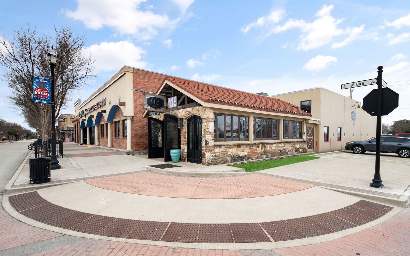
Roanoke sits at the north end of Tarrant County near the Alliance corridor, ground that shifted fast from rural to commercial just as Barnett Shale drilling was ramping up nearby.
The area around Roanoke changed quickly in the 2000s as the Alliance development corridor pulled in warehouses, roads, and rooftops right around the same years operators were leasing and drilling the Barnett Shale underneath. That overlap means mineral reservations here can be tied to commercial development deeds as easily as residential ones, and the timing between the reservation and the drilling can be tight rather than decades apart.
Whatever the surface use turned into, the mineral estate followed its own separate chain. We trace that chain through Tarrant and Denton County records, since Roanoke sits close enough to the line that we check both depending on the tract.
Fast-changing surface, separate mineral chain
Commercial and residential development moved fast through this corridor, but mineral ownership doesn't reset when the surface changes hands or gets rezoned. We confirm your interest from the original reservation forward, independent of whatever the surface has become.
Checking both counties
Roanoke sits near the Tarrant-Denton line, so part of our title work is simply confirming which county's records govern your specific tract before we start pulling deeds.
What determines value here
Current production and decline for your pooled unit, plus confirmed net mineral acreage, drive our offer — not how much commercial development has gone in on the surface nearby.
Place the county tract on the basin board
The local file should tie the county record and legal description to the relevant basin, formation, field, unit, wells, permits, and operator position. A surface address can help find the tract, but it does not establish the mineral interest or prove participation in nearby development.
Read the local well vintages
Producing wells, shut-in wells, intermittent wells, newer laterals, older vertical wells, nearby completions, and general operator acreage in the surrounding area belong in separate evidence lanes. The paid property history carries more weight than a rig or permit that does not include the subject acreage.
Reconcile the ownership line
Deeds, reservations, leases, assignments, probate or trust records, division orders, unit documents, payor records, and statements should all point to the same local interest. Acreage, fractions, burdens, depths, products, and the paid decimal stay open until the supporting records agree.
Compare the deed and closing terms
A written offer for the tract should state the exact interest conveyed, effective date, receivables, reservations, title standard, curative responsibility, adjustment rights, payment conditions, and recording sequence. A strong headline number can still carry a broad deed or a weak closing condition.
Texas Owner Questions
Does nearby commercial development affect your mineral value?
Not directly. Mineral value is tied to well production and unit acreage, not surface land use, though it can indicate the area was seen as valuable enough to develop broadly, including for drilling.
How do you know whether to check Tarrant or Denton County records for your tract?
We confirm the correct county from your legal description before starting the title search, so we're pulling the right courthouse's records.
Is drilling still active in this part of the Barnett?
Most wells here are mature and past their peak, though existing production continues and operators occasionally maintain or recomplete wells.
What if your mineral reservation deed predates the Alliance development entirely?
That's common, and it's a clean starting point for title work since the reservation stands independent of whatever came later on the surface.
Can you close quickly if you need to sell fast?
Once title is confirmed, most closings move in a matter of weeks, and we'll give you a realistic timeline upfront based on your specific tract.