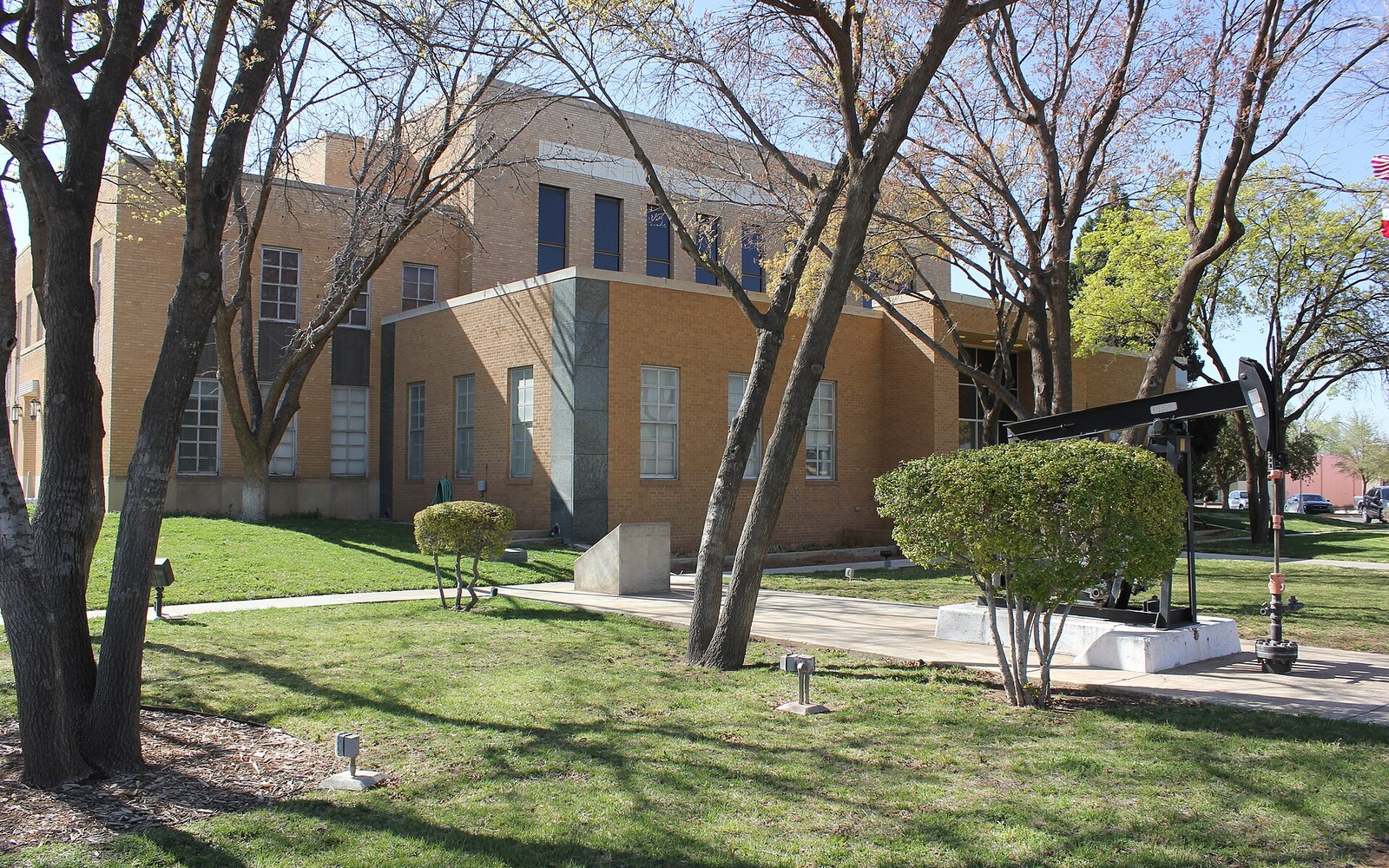
Andrews County has been an oil county since the 1930s, and the last fifteen years of horizontal Wolfcamp and Spraberry drilling stacked modern laterals on top of decades of older vertical production across nearly every section in the county.
Few Texas counties carry as continuous a drilling history as Andrews. The county seat, also named Andrews, grew up around the original 1930s field discoveries, and by the time horizontal drilling reached the Midland Basin in the 2010s, operators already had detailed subsurface control from generations of vertical wells. That history is a double-edged sword for mineral owners: it means the geology is well understood, but it also means ownership records can be tangled after multiple lease cycles, unitizations, and family transfers over ninety years.
For an owner sitting on Andrews County minerals today, the practical question isn't whether the county is productive, it clearly is, but where a specific tract falls relative to current horizontal units, what's actually being produced from it right now, and whether the paperwork on file matches who really owns the interest.
Beyond the county-wide picture, it's worth understanding how spacing units actually work in Andrews County today. Modern horizontal wells are typically drilled in units covering a full section or more, meaning your specific tract's minerals could be pooled alongside several neighboring sections under a single unit agreement filed with the Railroad Commission. That pooling determines your actual percentage of any given well's production, and it's a different calculation than simply looking at your deeded acreage against the county as a whole.
A County Built on Stacked Development
Andrews County's oil history runs in layers. Shallow vertical wells from the 1930s through the 1970s still dot the county, many long since plugged, while the Wolfcamp and Spraberry intervals below them have been the target of extensive horizontal development since roughly 2012. A single section can carry three or four generations of leasing history, each with its own royalty terms and sometimes its own set of owners.
That layering matters for valuation because a tract's current worth depends heavily on which horizontal units have actually been permitted or drilled across it, not only on the county's overall reputation as core Permian ground.
Why Ownership Records Get Tangled Here
Because so much of Andrews County has been under lease continuously since before World War II, mineral interests have frequently been divided by inheritance multiple times without anyone consolidating the paperwork. It's common to find a single original 640-acre section now owned in fractional slivers by a dozen or more heirs scattered across different states, many of whom have no idea their great-grandparents' minerals are sitting under an active horizontal unit today.
The Andrews County Clerk's office holds the deed and probate records that untangle this, and any serious buyer will run title through that office before making a real offer, not only take an owner's word for their percentage.
Reading Current Activity Against Your Tract
Because the county is so heavily developed, the most useful thing an owner can do before selling is figure out whether their specific acreage sits inside an existing production unit, is held by an older lease that's about to expire, or remains genuinely unleased. Each situation gets valued differently, and none of them are guessed at from a countywide average.
What to Bring to the Table
A recent division order, a royalty check stub, or even just the original deed gives us enough to start pulling county records and building a real number. Owners who've lost track of exactly which section their family's minerals sit in are more common than you'd think, and that's something we sort out before, not after, discussing terms.
Probate Gaps Across Generations
A recurring issue in Andrews County is the probate gap, where a mineral owner passed away decades ago and the estate was never formally probated, leaving the deed record showing an owner who's been gone for fifty years while heirs quietly split royalty checks informally among themselves. Selling in that situation requires clearing the probate gap first, either through a formal probate proceeding, an affidavit of heirship, or a small estate procedure depending on the value and complexity involved. It's more paperwork, but it's routine work in a county with this much long-held family land, and it doesn't need to be a barrier to moving forward on a sale.
Texas Owner Questions
How do you know which section of Andrews County your minerals are in?
Your deed will list the legal description. If you don't have it, we can pull it from Andrews County Clerk records once we have your family's name or the original grantor.
Is all of Andrews County considered core Permian Basin?
Most of it is regarded as core Midland Basin acreage, though drilling density and current activity still vary section to section, which is why we check the specific tract rather than quoting a county-wide rate.
Your family's interest hasn't been touched since the 1970s. Does it still exist?
Very likely, unless it was specifically sold or conveyed away. Mineral interests don't expire on their own; we'll confirm current ownership against the courthouse record.
What if multiple family members share the interest?
That's common in Andrews County given how long land has stayed in families here. Each owner can sell their own fractional share, or the family can work through it together; we handle either.
What if there's never been a formal probate on your grandparents' Andrews County minerals?
This is common in long-held family land. Depending on the situation, an affidavit of heirship or a formal probate proceeding can clear the record; we can walk you through which applies to your case.